

not logged in | [Login]
![]()
The Hotmaps toolbox allows anyone to export part of a layer/dataset.
This feature requires basic usage knowledge on selection and layers.
If you have any difficulties please read the following guides:
Select the layer you want to export in the list of layers (left panel)
Select the selection scale on the right of the map (NUTS/LAU/hectare)
Select the the region you want with the selection tools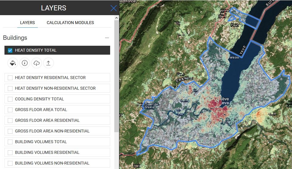
Once the selection is ok, click on the  button below the layer name on the left panel to start the download process.

Once finished you will get a .tif file on your computer
Once all these steps are done you will have an export of one of the layers.
You can then use it with your own tools and even edit it to import it back to the platform (see Data upload for indications on how to do it).
Daniel Hunacek and Lucien Zuber, in Hotmaps Wiki, Data export functionalities (September 2020)
Authors:
Reviewers:
We would like to convey our deepest appreciation to the Horizon 2020 Hotmaps Project (Grant Agreement number 723677), which provided the funding to carry out the present investigation
View in another language:
* machine translated